|
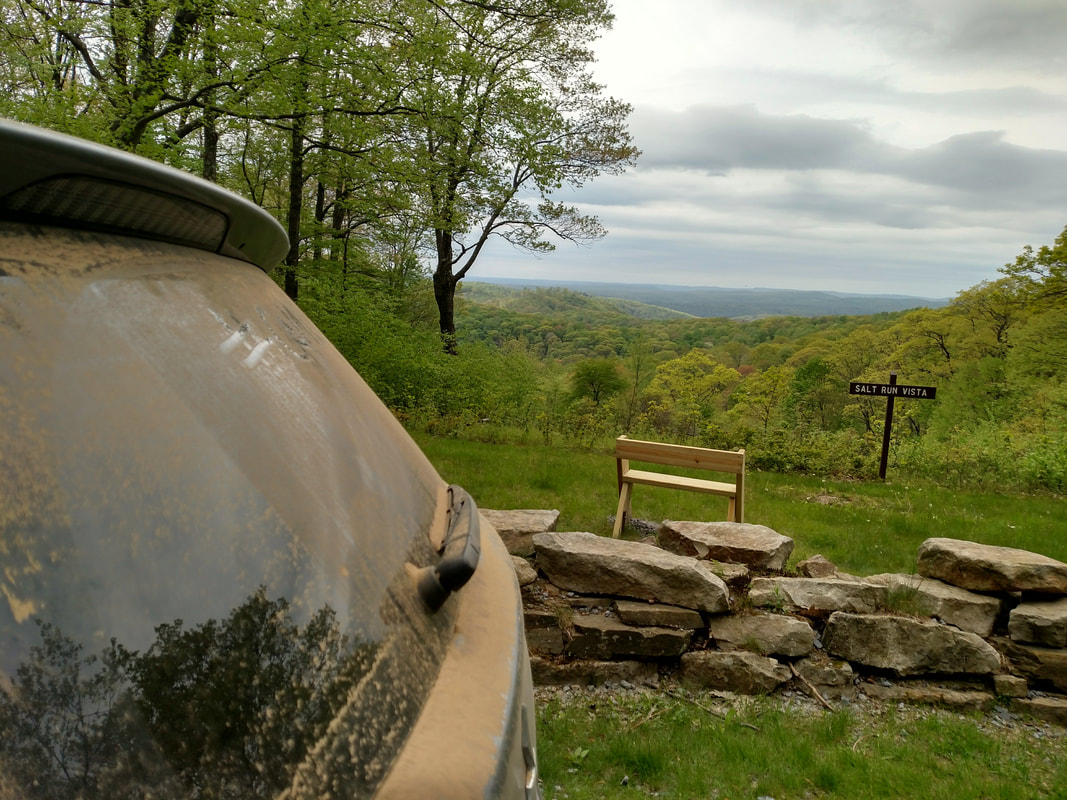
I wrote this post 1 year ago -- and felt that it wasn't the time to share it. Now -- I'm really proud of how far this project has come in the last year, and as we begin Phase 2 and collect your stories I'm so humbled by the stories people are sharing with us, the trust they have that we'll honor them and the faith they have that we can build bridges and make people feel heard. Please enjoy a little bit of what I LOVE about Cam Co, one thing that makes me #CamCoProud  This is my Cameron County. Ok *technically* the fore ground is Potter County... but that view...way out there...That's Cameron County. The Salt Run Vista over looks Salt Run, and Salt Run, weaves its way into Cameron County, and I spent many summer days at Andrews Farm bothering Poor Mr. Andrews -- by hunting for his barn cats, riding my bike through his yard to build dams, fish or just wade in the water under the Salt Run Bridge on Nickler Road, or riding my bike over that bridge to see Ms. Ada Drum for snack and a story. Upon moving back home, when I was pregnant with my son, Elias, I would walk up the bottom portion of Salt Run Road, in the August heat, because I couldn't sit still. We even had our engagement pictures taken at Andrew's Farm -- because of how much it meant to me, and how beautiful it is. Now, you see that dirt all over my car...that dirt is from Crooked Run. Crooked Run starts where Sizerville State Park first greets its visitors, and it brings you up to Ridge Road. Ridge Road transverses a large part of Potter and Cameron County. It's so long, that the forest type actually changes from the North end to the South end, and in the fall, it's a really great place to view the leaves. *Side Note: If Hiking is more your thing -- The Bucktail Path does the same thing. From its start in Sizerville State Park to its End in Sinnemehoning. You can day hike portions of it (I suggest Rock Run Trail or Chicago Springs Trail) or spend a couple days hiking through this coming spring* So in case you haven't noticed, yeT.... |
 RSS Feed
